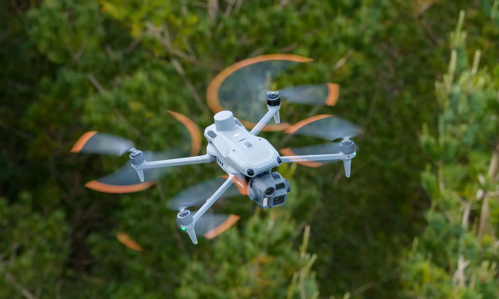
Photogrammetric Flight
Using the photogrammetry method, the drone captures high-resolution, overlapping images of the survey area.
From these images, TreeDetect is able to generate an accurate 3D point cloud, orthophoto, and digital terrain model.
The advantage of photogrammetry is that it is widely accessible, it can be performed with virtually any camera-equipped drone, and the images can be used for a wide variety of purposes (mapping, visualisation, statistical analysis).
When Can Photogrammetry Be Applied?
During a photogrammetric survey, the system infers stand parameters from the upper surface of the tree canopy. Therefore, it only yields reliable results exclusively in leaf-off (dormant) conditions. During the growing season, the closed canopy obscures trunks and lower branches, significantly reducing the accuracy of individual tree detection.
Evergreen stands: for coniferous species, where the forest is not too dense, photogrammetric surveys can also be performed in leaf-on conditions, as the trunks remain partially visible.
✅ Advantage: The raw images captured during a photogrammetric flight can be uploaded directly to the TreeDetect system, which automatically generates the 3D point cloud and all derived models during processing.
⚠️ Warning! Photogrammetric data collection is sensitive to lighting conditions. Flights must always be performed during daylight with adequate illumination.