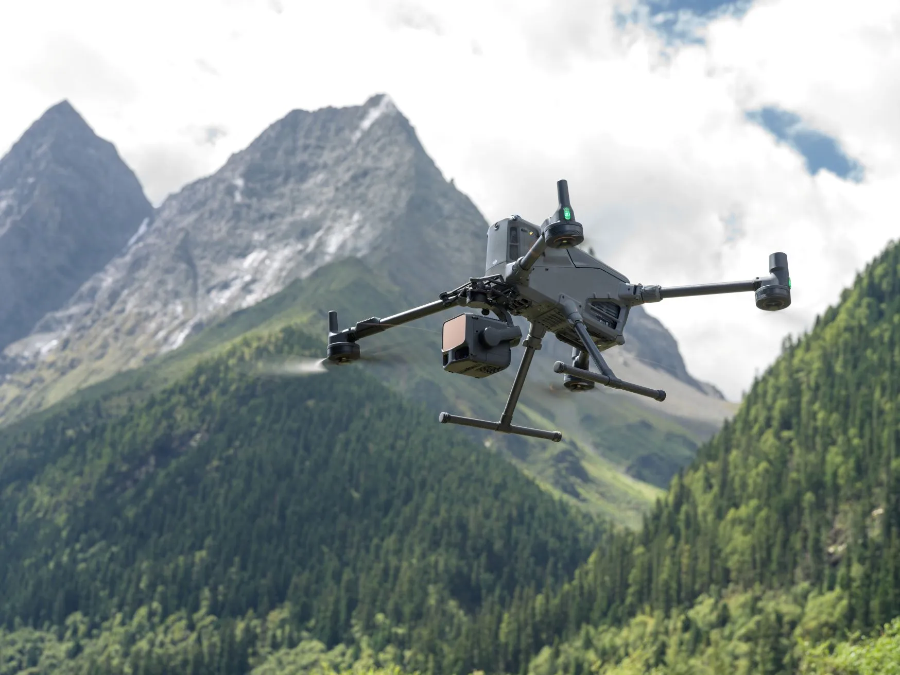
LiDAR Flight
LiDAR (Light Detection and Ranging) technology enables the drone to create a detailed 3D point cloud of tree canopies and the ground surface using laser pulses during flight. This method is particularly advantageous for forest surveys, as it can record data even beneath dense vegetation.
What to Pay Attention to During a LiDAR Flight?
- Flight speed: it is advisable to fly at a slower speed (5–7 m/s) to ensure sufficient data density.
- IMU and RTK: regular IMU calibration and the use of RTK (or PPK) are essential for accurate positioning and data alignment.
✅ Advantage: LiDAR enables precise mapping of the ground surface even beneath dense foliage, something often not achievable with photogrammetry.
The latest generation of LiDAR sensors have made significant advances in penetration capability. As a result, forest surveys can now be carried out even in leaf-on (vegetation) conditions, as laser pulses can penetrate the canopy and record return signals from trunks and branches beneath the leaves. This means not only the canopy surface but also the trunk structure can be modelled, enabling more accurate trunk diameter and volume estimation year-round.
⚠️ Warning: Always ensure you have configured the correct return mode, sampling frequency, and flight altitude, otherwise data collection may be incomplete.
If you are performing a forest survey with a DJI LiDAR scanner, the recorded data must first be imported into DJI Terra software and exported in .las format. The resulting .las file can then be uploaded to the TreeDetect system.