Introduction
TreeDetect is an innovative platform that brings together and supports the entire workflow of drone-based forest surveys. It is accessible and usable from anywhere in the world, offering flexibility for drone pilots and an efficient solution for foresters alike.
With the system, projects can be managed transparently, flights can be planned precisely, data is processed automatically, and detailed reports, summaries, and charts become available in a short time.
TreeDetect's goal is for users to only need to execute the flight, the platform takes care of everything else.
Why Choose TreeDetect?
- Ease of use: intuitive interface with pre-configured flight parameters.
- End-to-end workflow: planning, data upload, processing, and reporting in one place.
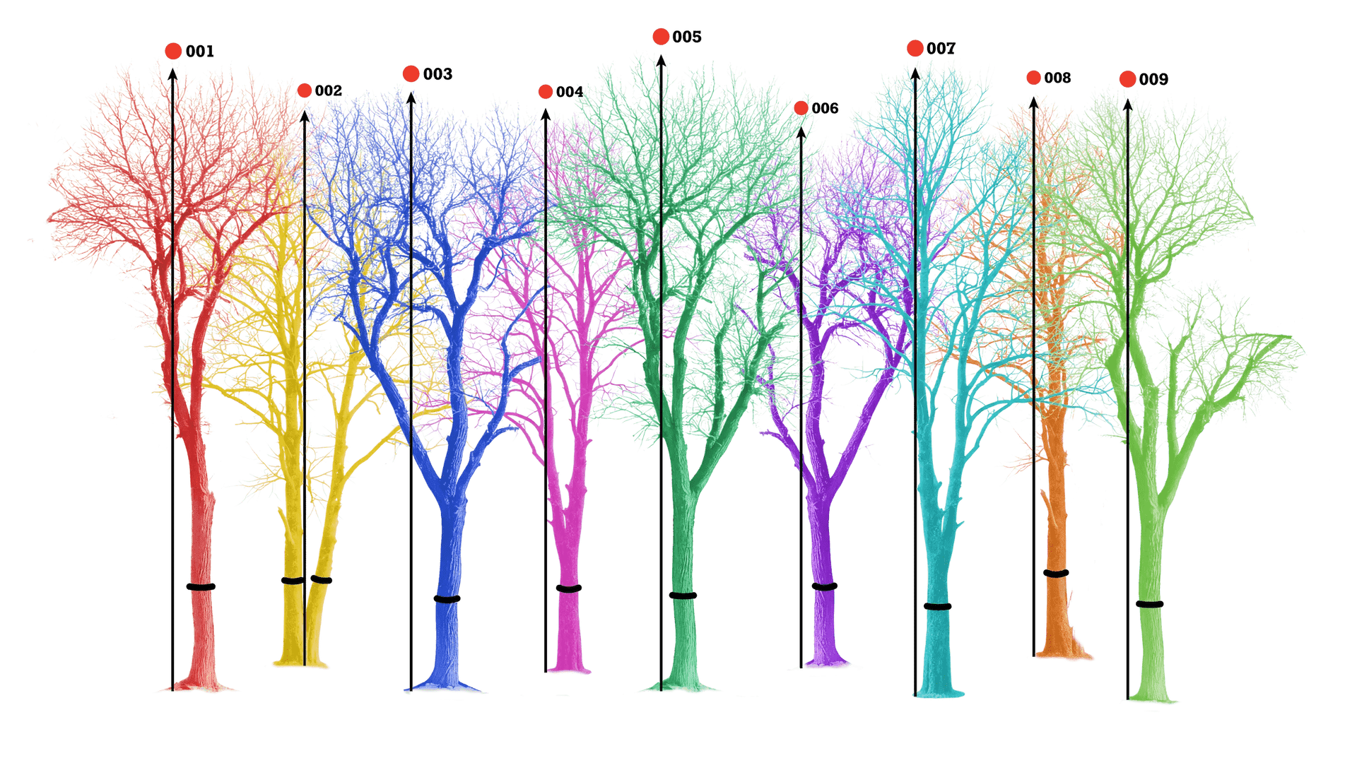
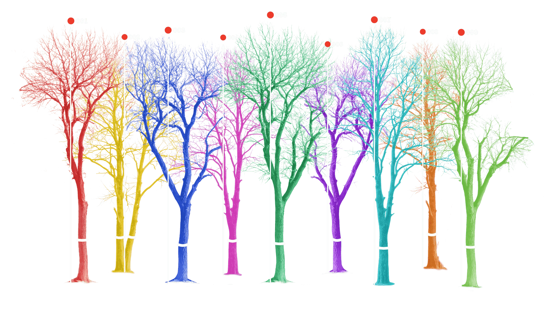
- Accuracy: whether your drone is equipped with a LiDAR sensor or a standard camera, TreeDetect extracts highly accurate forestry data from the recorded data.
- Flexibility: works from anywhere in the world, with various drones and data sources.
✅ Advantage: TreeDetect supports you every step of the way to ensure forest surveys are fast, accurate, and reliable.
How Does the Process Work?
- Planning: define the flight path, altitude, and overlap.
- Flight: the drone captures data using LiDAR or photogrammetry.
- Upload: images, point clouds, and project data are submitted.
- Processing: automatic analysis, cleaning, and modelling.
- Report: detailed statistics, charts, and exportable documents.