Pricing and Payment
TreeDetect operates on a pay-as-you-go model, users pay only for the actual data processed.
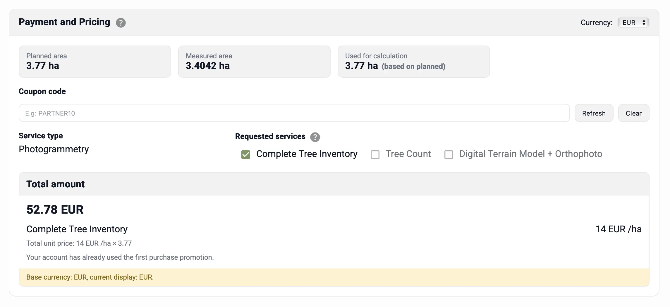
Prices are calculated per hectare, ensuring each project is billed precisely according to its surveyed area.
All prices shown on the platform are gross amounts (tax included).
Pricing Principle
The processing fee is calculated based on the surveyed area size of the project (without rounding).
The system automatically analyses the uploaded data, determines the exact hectare value, and uses it as the basis for pricing.
For current rates and active discounts, visit the TreeDetect homepage. (All listed prices include all applicable taxes.)
✅ Advantage:
You pay only for what you actually survey — no hidden costs and no subscription fees.
LiDAR vs Photogrammetry
The main difference between the two processing types is:
- LiDAR processing: works directly from point clouds, resulting in faster and more cost-efficient analysis.
- Photogrammetric processing: first generates a 3D point cloud from drone images, which adds one extra step to the process.
Payment Process
Payments are handled securely through Stripe, immediately after uploading your files.
The system supports multiple payment methods:
- Credit card (Visa, Mastercard)
- Stripe account payment
- Apple Pay
- Google Pay
- Revolut Pay
Available currencies:
- EUR (Euro)
- USD (US Dollar)
- HUF (Hungarian Forint)
⚠️ Warning: Processing only begins after successful payment.
Once the transaction is confirmed, the project automatically switches to "Processing" status.
Notifications and Invoicing
After processing is complete, the system:
- automatically sends an email notification about the project status
- makes the completed reports available
- issues an electronic invoice, which can be downloaded from the project account