Digital Terrain Model and Orthophoto
The TreeDetect system provides two types of raster outputs for representing the terrain and canopy level:
the Digital Terrain Model (DTM) and the Orthophoto.
Both are downloadable as georeferenced .tif files and can also be viewed interactively on the report interface.
Digital Terrain Model (DTM)
The DTM provides an accurate representation of the ground surface, filtering out vegetation and objects above ground.
The model can only be generated reliably in leaf-off conditions, when point cloud data contains sufficient ground-level returns.
Output:
- Downloadable georeferenced
.tifraster file - Interactive display on the report interface, selectable as a map layer
- Compatible with GIS software (e.g., QGIS, ArcGIS)
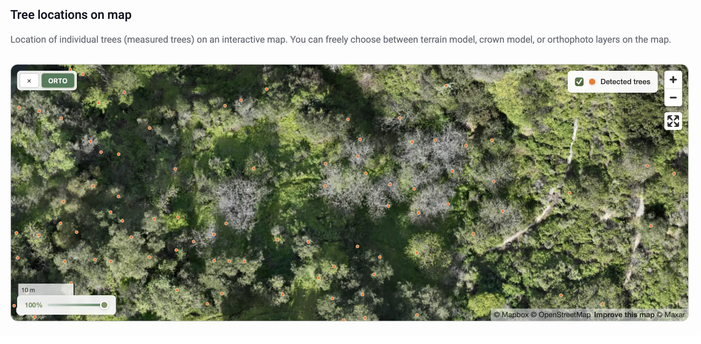
Orthophoto
The orthophoto is a distortion-free, georeferenced aerial image showing the true visual appearance of the terrain and canopy.
This output is generated exclusively from photogrammetric processing, as image-based 3D reconstruction is required to create the aligned mosaic.
Orthophotos can be produced in both leaf-on and leaf-off conditions.
Output:
- Downloadable high-resolution
.tiffile - Interactive display on the report page, selectable as a map layer
- Suitable for field and visual analyses
✅ Advantage:
The DTM and Orthophoto together ensure that users can examine both the terrain elevation and the visual appearance of the surface.