How TreeDetect Works
TreeDetect offers a comprehensive solution for drone-based forest surveys.
The process consists of five well-defined steps that build on each other to deliver fast and accurate results.
1. Planning
Work begins with planning the data collection.
The user defines the boundaries of the area to be surveyed and specifies the drone type. Based on this, the software determines the required flight parameters (altitude, overlap, gimbal tilt angle, etc.), preparing the mission for the drone.
- The survey area can be defined using the built-in map planner, or if an exact boundary already exists, it can be imported as a KML file
- Pre-defined settings ensure consistent data collection
- The flight KML file can be exported with a single click
✅ Advantage: Automating the planning step reduces the risk of errors and ensures that all necessary data is collected.
⚠️ Important: Always use the flight parameters recommended by the software to ensure accurate data collection!
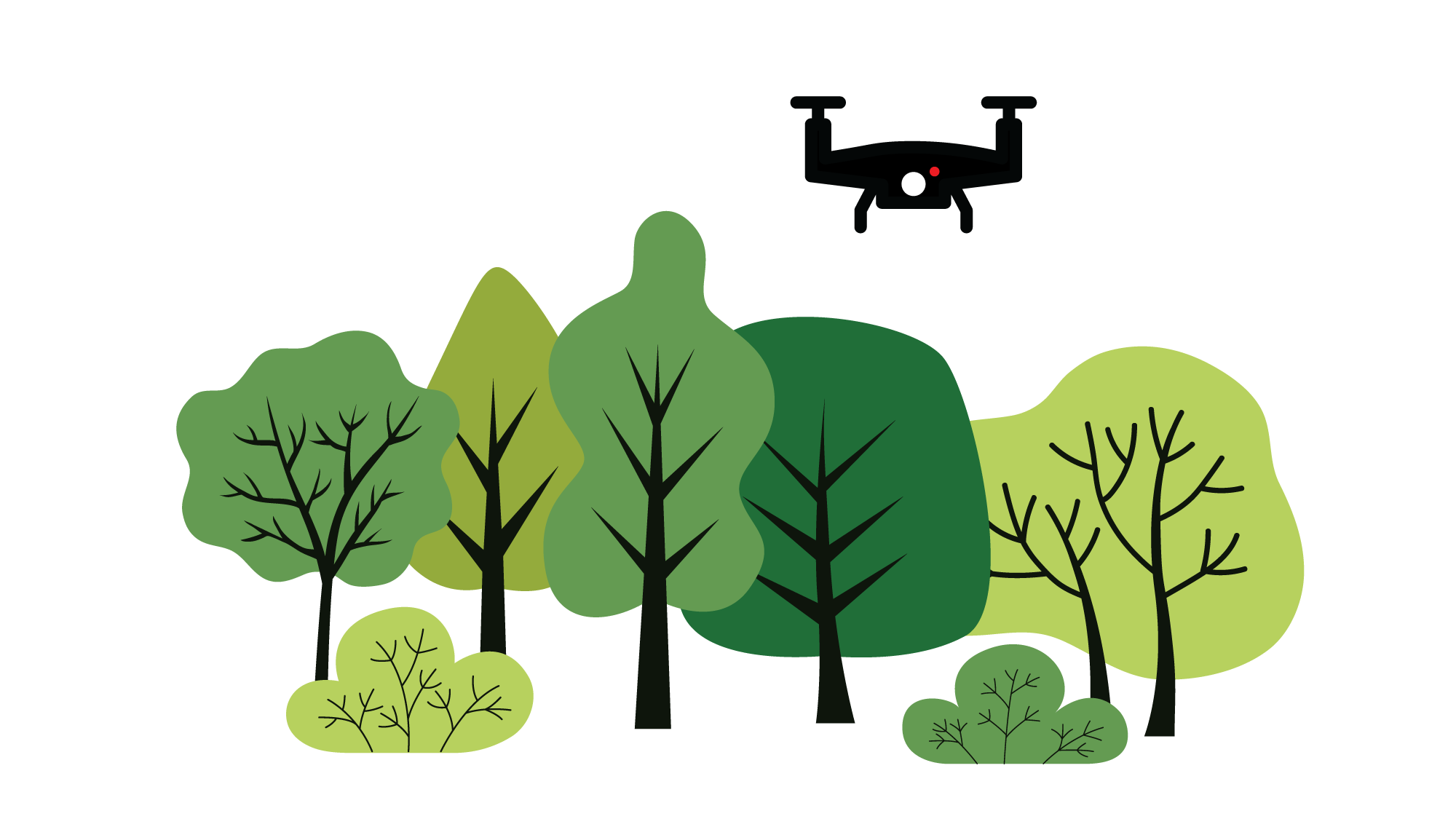
2. Flight
The next step is the flight, during which the drone performs the data collection.
TreeDetect is compatible with any modern drone, so users can use their own equipment.
- LiDAR sensor: creates a precise 3D point cloud of the tree canopies and ground surface.
- Photogrammetry: high-resolution overlapping photos from which a detailed 3D point cloud is generated. (TreeDetect handles this automatically.)
The flight is carried out by the drone pilot. The flight path exported from TreeDetect (e.g., KML file) can be loaded into external applications such as DJI Pilot 2 or DroneDeploy, where the recommended parameters (altitude, overlap, camera direction, etc.) are configured. The drone then automatically executes the flight and data collection.
✅ Advantage: The user only needs to start the flight, the platform takes care of the rest.
⚠️ Warning: Only fly under appropriate, safe weather conditions!
3. Upload
After the flight, raw data can be easily uploaded to the TreeDetect platform.
This includes images, point clouds, and flight metadata.
- Drag & drop file upload
- Flight data entry (date, location, parameters)
- Optional forest parameters (e.g., custom formulas, calculation methods)
- Pay as you go: users only pay for the area actually surveyed
⚡ Note: During upload, all files and the size of the surveyed area are automatically validated to ensure they meet processing requirements.
4. Processing
Uploaded data is processed automatically, regardless of whether the user uploaded a LiDAR point cloud or photogrammetric images. The processing of both data sources follows essentially the same steps, with the addition that for photogrammetry, the system first assembles the accurate 3D point cloud from the images.
If a photogrammetric survey was performed, TreeDetect first generates a precise 3D point cloud from the uploaded images.
The Digital Terrain Model (DTM), orthophoto, and Canopy Height Model (CHM) are then derived.
On the resulting data, the system automatically:
- Detects individual trees
- Segments each detected tree individually
- Determines tree height, crown diameter, trunk diameter, basal area, and additional parameters
- Calculates stand-level metrics such as total gross timber volume, total basal area, and numerous other useful indicators
✅ Advantage: TreeDetect's automated processing delivers detailed data in a short time, data that would require lengthy, labour-intensive field measurements to obtain manually.
5. Report
The final step is the creation of the report, which presents all results in a clear, structured format.
- Interactive maps
- Detailed statistical tables and charts
- Individual tree-level data alongside summary statistics
- Exportable PDF report
- Project-based sharing, including sharing just the report section
✅ Advantage: The report not only provides a quick overview, but also contains numerous actionable insights for economic and professional decision-making.